When I was a kid, our family took a lot of road trips. And because we lived in the Midwest, this meant a lot of time spent driving. And because I was a voracious reader who often finished whatever books I had along - and because nobody had bothered to invent the cell phone for me yet - that meant I spent a lot of time looking at whatever road atlas we had in the car. And by this, I mean A LOT. As in look through and find the location of the highest point in every single state a lot.
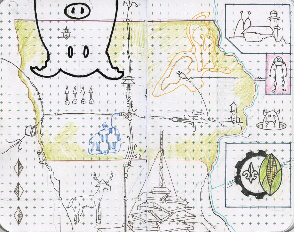
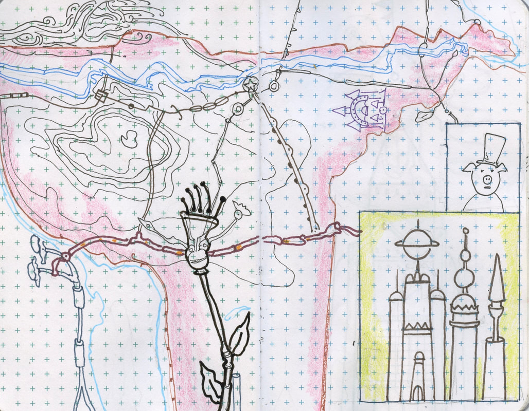
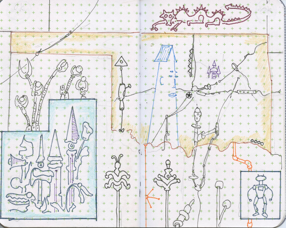
Besides an attempt to try to figure out what America is turning into in the mid 21st century, this set of sketchbooks is an homage to the now-vanished art of staring at a volume of bound paper road maps for so long that you start seeing the shape of the Continental Divide with your eyes closed. Yes, the layout of each state is exactly the same as the most recent paper atlas I could find, though obviously, most of the details are different.
Besides an attempt to try to figure out what America is turning into in the mid 21st century, this set of sketchbooks is an homage to the now-vanished art of staring at a volume of bound paper road maps for so long that you start seeing the shape of the Continental Divide with your eyes closed. Yes, the layout of each state is exactly the same as the most recent paper atlas I could find, though obviously, most of the details are different.